
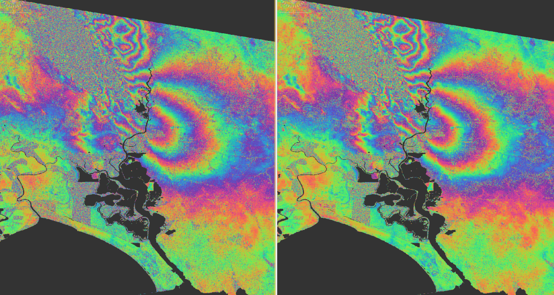
Two new tutorials are available to help you understand and apply Geocoded Single Look Complex (GSLC) processing using the SNAP Microwave Toolbox.
🔹 GSLC Terrain Correction – Hands-on Tutorial
A step-by-step guide to phase-preserving InSAR processing, using Sentinel-1 data to map earthquake-related ground deformation.
🔹 GSLC Terrain Correction – Explained
Learn how the GSLC Terrain Correction operator works, how phase information is preserved, and why the geocode-first approach simplifies InSAR workflows.
Check out both resources to learn more and explore what’s possible with GSLC in SNAP!
Explore GSLC Terrain Correction in SNAP!
Start the discussion at forum.step.esa.int