
| Abstracted Metadata | |
A variety of data products can be ingested into a common internal representation. For metadata, this is done using the Abstracted Metadata.
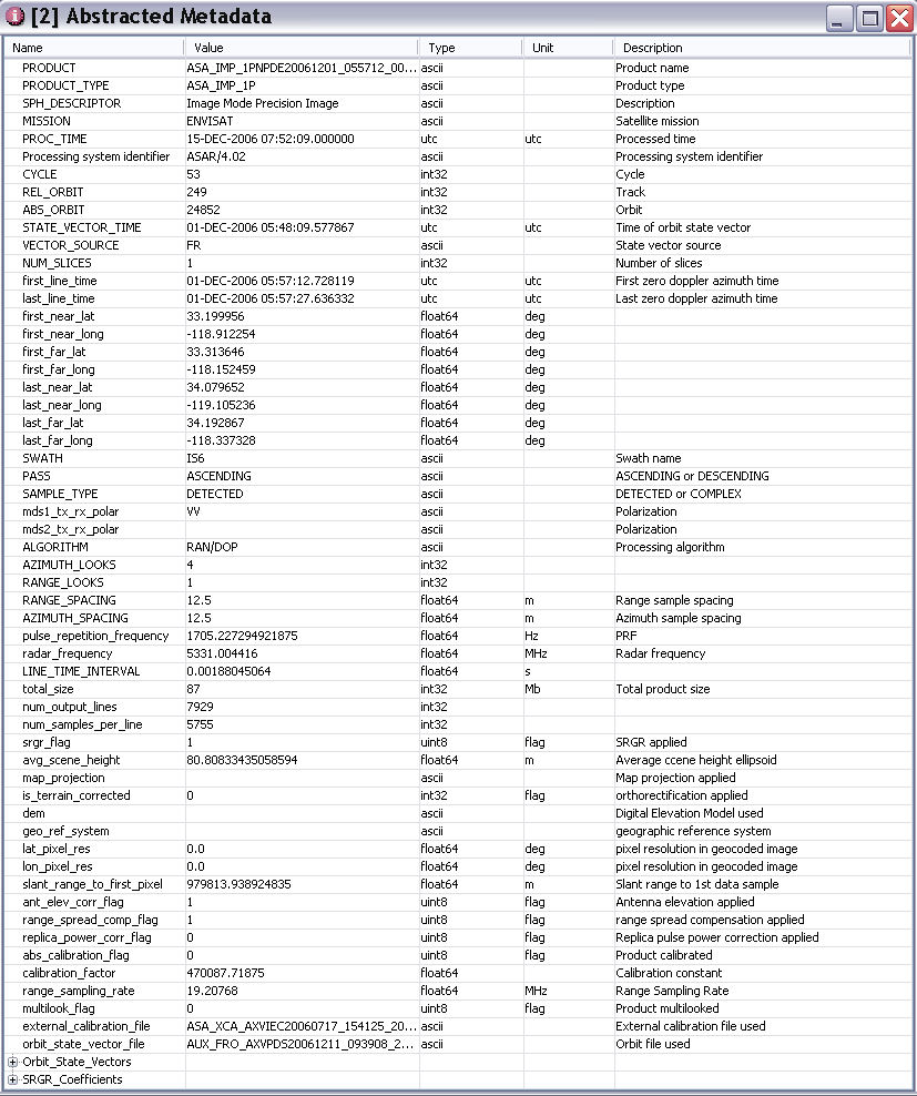
The Abstracted Metadata is an extract of information and parameters from the actual metadata of the product. The idea behind this is firstly to list the needed parameters to run tools and algorithms and secondly to modify these in line with the processing over the product. In fact, the parameters read from the abstracted metadata can be changed as the result of any processing. According to this concept, the abstracted metadata can be considered a dynamic header.
Each Product Reader knows how to read a particular file format and map the metadata to the Abstracted Metadata. For any fields that do not exist in a product, a default dummy value of 99999 is used.
The abstracted metadata can be edited and changed after having saved the product in the internal BEAM DIMAP format. Therefore if external information is available, for instance the user can modify and update the dummy values in the abstracted metadata.
You may search through the metadata by clicking on the Search Metadata menu item in the SAR Tools Menu. Enter a partial string of a metadata field name and all entries will be shown in a metadata table.
If you are importing a file with no metadata, for example a bitmap or JPEG with the ImageIO reader or extra metadata for an ENVI product, you can create an XML file that will be read in as the Abstracted Metadata and be used within the processing.
The filename for the metadata data should be called either metadata.xml or filename.xml when importing filename.hdr or filename.jpg
The format of the file should be as follows:
<?xml version="1.0" encoding="UTF-8"?>

<Metadata>

 <AbstractedMetadata>

  <attrib name="PRODUCT" value="ProductName" type="10" />

  <attrib name="PRODUCT_TYPE" value="protuctType" type="10" />

  <attrib name="SPH_DESCRIPTOR" value=" " type="10" />

  <attrib name="MISSION" value="ENVISAT" type="10" />

  <attrib name="PROC_TIME" value="09-MAY-2008 19:53:39.000000" type="51" unit="utc" />

  <attrib name="CYCLE" value="68" type="12" />

  <attrib name="REL_ORBIT" value="257" type="12" />

  <attrib name="ABS_ORBIT" value="32375" type="12" />

  <attrib name="STATE_VECTOR_TIME" value="09-MAY-2008 19:12:47.666422" type="51" unit="utc" />

  <attrib name="VECTOR_SOURCE" value="FP" type="10" />

  <attrib name="first_line_time" value="09-MAY-2008 19:24:42.913160" type="51" unit="utc" />

  <attrib name="last_line_time" value="09-MAY-2008 19:25:18.745011" type="51" unit="utc" />

  <attrib name="SWATH" value="IS6" type="10" />

  <attrib name="PASS" value="ASCENDING" type="10" />

  <attrib name="SAMPLE_TYPE" value="DETECTED" type="10" />

  <attrib name="mds1_tx_rx_polar" value="VV" type="10" />

  <attrib name="ALGORITHM" value="SPECAN" type="10" />

  <attrib name="AZIMUTH_LOOKS" value="8" type="12" />

  <attrib name="RANGE_LOOKS" value="10" type="12" />

  <attrib name="RANGE_SPACING" value="75.0" type="31" unit="m" />

  <attrib name="AZIMUTH_SPACING" value="75.0" type="31" unit="m" />

  <attrib name="pulse_repetition_frequency" value="1705.227294921875" type="31" unit="Hz" />

  <attrib name="LINE_TIME_INTERVAL" value="0.0113141304" type="31" unit="s" />

  <attrib name="srgr_flag" value="1" type="20" unit="flag" />

  <attrib name="isMapProjected" value="0" type="12" unit="flag" />

  <attrib name="ant_elev_corr_flag" value="1" type="20" unit="flag" />

  <attrib name="range_spread_comp_flag" value="1" type="20" unit="flag"  />

  <attrib name="replica_power_corr_flag" value="0" type="20" unit="flag"  />

  <attrib name="abs_calibration_flag" value="0" type="20" unit="flag" desc="Product calibrated" />

  <attrib name="calibration_factor" value="8282833.5" type="31" unit="" />

  <attrib name="range_sampling_rate" value="19.20768" type="31" unit="MHz" />

 </AbstractedMetadata>

 <tie-point-grids>

  <slant_range_time unit="" desc="">

   <row value="6551873.5,6883743.5" />

   <row value="6555548.0,6887433.0" />

  </slant_range_time>

  <incident_angle unit="" desc="">

   <row value="38.975224,42.915314" />

   <row value="38.978363,42.916718" />

  </incident_angle>

  <latitude unit="" desc="">

   <row value="45,45" />

   <row value="-45,-45" />

  </latitude>

  <longitude unit="" desc="">

   <row value="-90,90" />

   <row value="-90,90" />

  </longitude>

 </tie-point-grids>

</Metadata>
Only name and value are required for each attribute the others
could be optional. Also, not all attributes are required. If any
are missing then
defaults will be used.
Any elements placed in tie-point-grids will be imported as a
tie-point grid band and be interpolated to the image raster
dimensions at run time.
The latitude and longitude tie points will be used to create the
product geocoding.
You can export the metadata from a currently opened product by clicking on Export Metadata in the Product Writers menu.