|
EOMasters Toolbox Basic | |
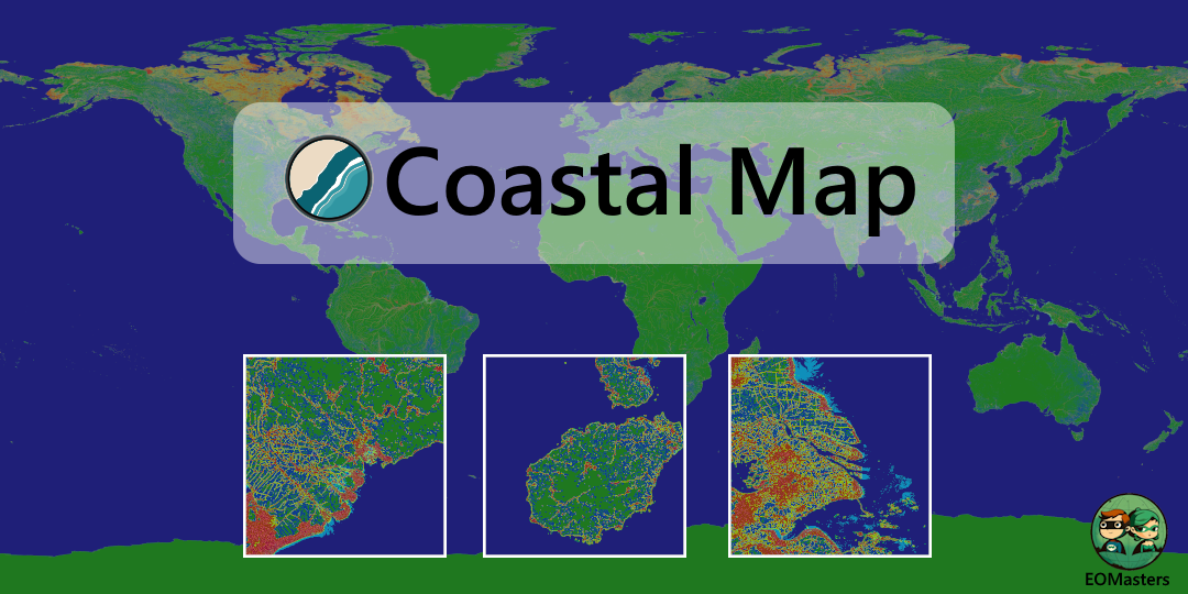
 Coastal Map
Satellites monitor coastal areas, which are important ecosystems for plants and animals. This allows us to study and protect these natural wonders. The provided coastal area map facilitates the analysis of Earth observation data. It offers data that is essential for processing coastal area information. This lowers the workload and the computing time, and thus speeds up the delivery of the ecological coastal map to customers and decision makers.
The map provides 4 important indicators for coastal areas.
| Additional support for the Coastal Map is provided by the pro version of the EOMasters Toolbox . |
The generation of the indicators is described in the technical note .