Compute Slope and Aspect Operator
The operator computes a map of the slope and aspect for a given
satellite image using a user selected DEM. The slope and aspect
maps can be useful for terrain analysis. For example, classifiers
may want to exclude data from areas with steep slopes. Slope
represents the rate of change or steepness between neighbouring
elevations. Aspect identifies the downslope direction of the
maximum rate of change in value from each pixel to its neighbors or
in other words, the slope direction with respect to North. The
slope and aspect are computed using the user selected DEM and the
pixel spacing saved in the metadata of the given product. In case
the pixel spacing are not available, they are estimated using the
geo-positions of the pixels in the center of the image.
Input
- The input of this operator can be any optical or SAR product
supported by SNAP.
Output
- The output of the operator are the original bands of the
product plus three new bands: slope, aspect and elevation.
Parameters Used
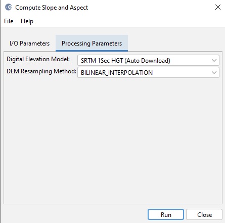
- Digital Elevation Model: The DEM type. Currently the following
DEMs are supported. For better result, it is recommended to select
a DEM that has smaller spatial resolution than the pixel
spacing.
-
- ACE2_5min
- ACE30
- ASTER 1sec GDEM
- GETASSE30
- Copernicus 30m Global DEM (Auto Download)
- Copernicus 90m Global DEM (Auto Download)
- SRTM 1Sec Grid
- SRTM 1Sec HGT (Auto Download)
- SRTM 3Sec
- External DEM
- DEM Resampling Method: Interpolation method for obtaining
elevation values from the original DEM file. The following
interpolation methods are available
-
- nearest neighbour
- bi-linear
- cubic convolution
- 5-points bi-sinc
- 11-points bi-sinc
- 21-points bi-sinc
- bi-cubic