

|
EOMasters Toolbox Pro | |
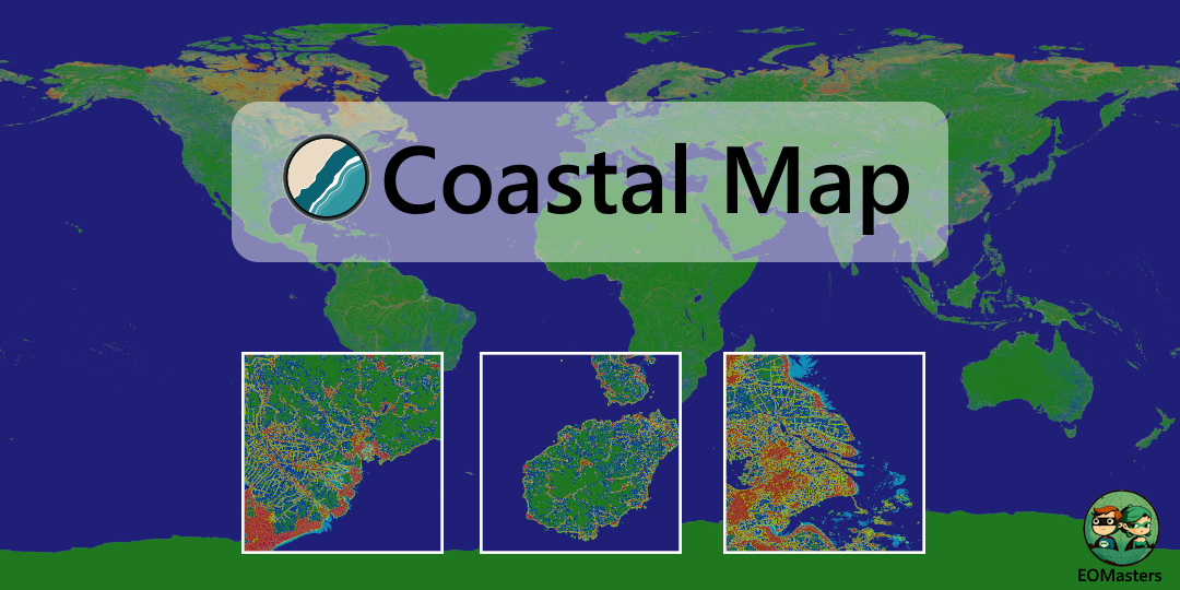
 Coastal Map
Satellites monitor coastal areas, which are important ecosystems for plants and animals. This allows us to study and protect these natural wonders. The provided coastal area map facilitates the analysis of Earth observation data. It offers data that is essential for processing coastal area information. This lowers the workload and the computing time, and thus speeds up the delivery of the ecological coastal map to customers and decision makers.
The map provides 4 important indicators for coastal areas.
The generation of the indicators is described in the technical note .
After generating coastal map data the product will contain the following items.
A new band contains the flag data named 'eom_cm_flags'
A new Flag Coding named 'EOM_CoastalFlags' is created and
defines the following flags.
LAND, WATER, COASTLINE, INTERTIDAL,
COASTAL_WATER_VICINITY_LOW, COASTAL_WATER_VICINITY_MID,
COASTAL_WATER_VICINITY_HIGH,
COASTAL_LAND_VICINITY_LOW, COASTAL_LAND_VICINITY_MID,
COASTAL_LAND_VICINITY_HIGH
For each flag a mask is created for visualisation in the scene view of snap. The default appearance of the masks can be changed in the options.